Services
We offer a wide variety of aerial drone services perfect for every project
base rate $50 / hr + $25 / hr travel fee
Aerial photography
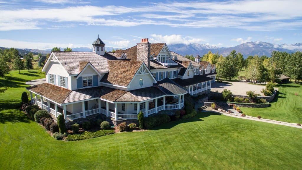
base aerial photos $100 = 20 photos
Demonstrate the value of commercial properties with a multitude of aerial angles and views. endearing family events (reunions, celebrations, marriages) and of high-quality, court-room grade inspections of construction projects, accident scenes, insurance damage claim locations, gravel/sand asset stockpiles with quantitative measurements, real estate for marketing, and historic landmarks.
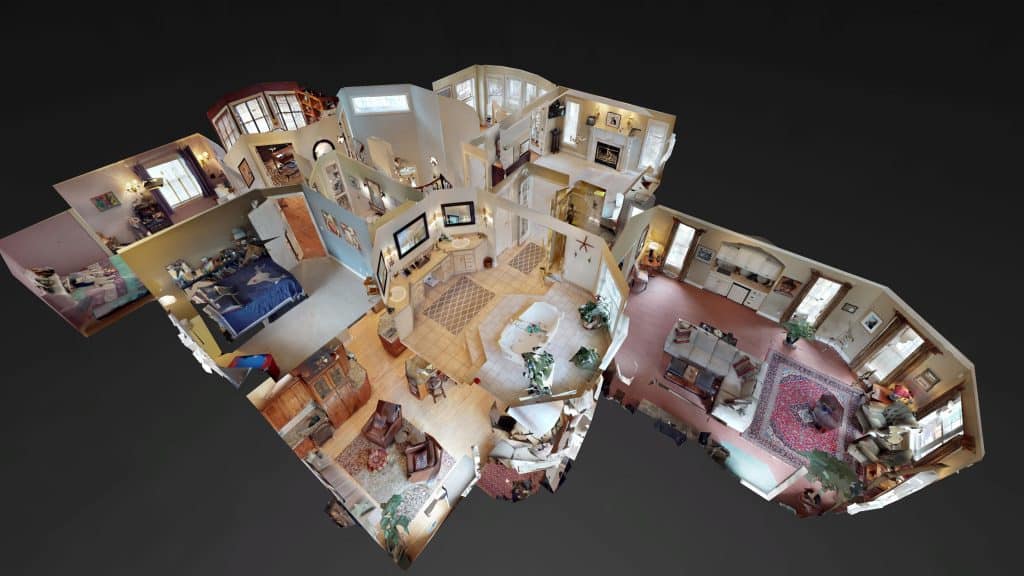
matterport 360 virtual tours
Base tour $300 + 10% of sq ft
$20/month hosting fee
Or clients receive their content the same day, no excuses. Prospective homebuyers come to showings equipped with more information than ever before with our mattertags. We use Mattertag posts to highlight key features within a space, ask questions, and add context towards anchoring rich media, like links, photos and videos to brand your company, thus creating a tremendous opportunity for you to stand apart from other agents and influence clients early.
Inspection Services
base rate $60 / hr + deliverable
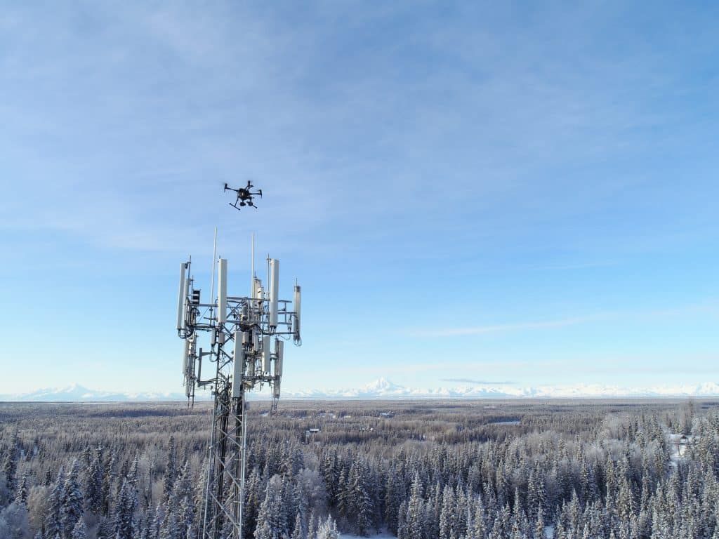
We offer a wide range of NDS inspection services for rooftops, storage tanks, cell and radio towers, solar panels, and bridges. Safely collect actionable data of your subject with high-definition aerial images. Understand the condition of a structure and the current equipment installed. Make better, more informed decisions enabled by drone photography.
3 D Modeling
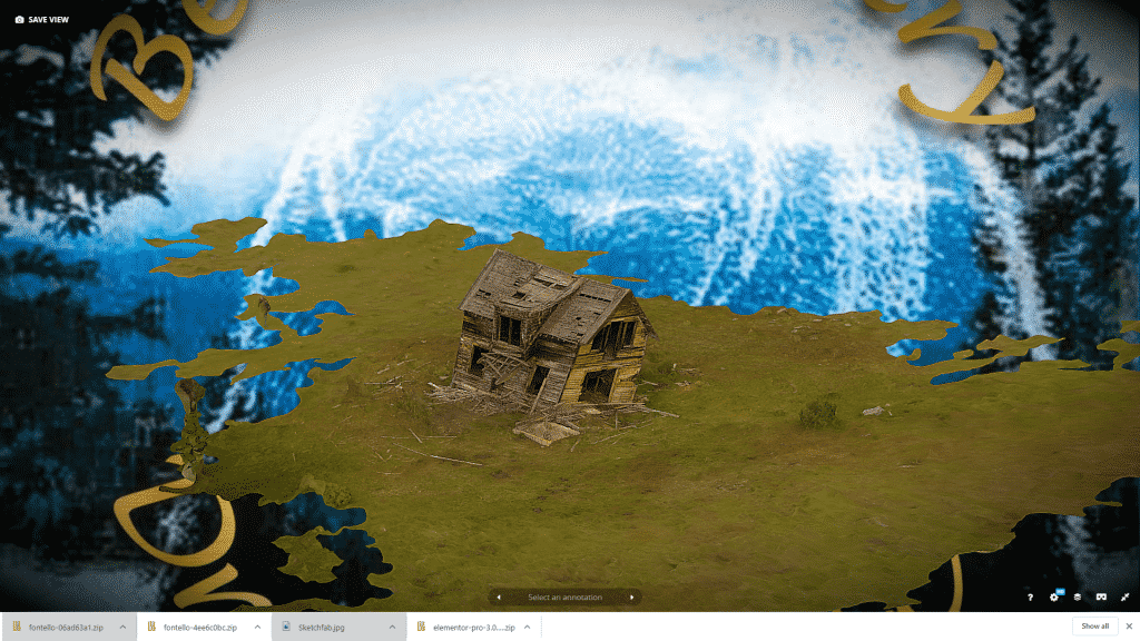
base model $300 + $10 a month hosting fee
3D modeling is the process of developing a mathematical representation of any surface of an object (either inanimate or living) in three dimensions via specialized software. The product is called a 3D model. 3 D models are a great way to visualize the 3 dimensionalities of your object of interests. We showcase your 3D models in Sketchfab check them out!
aerial cinematography
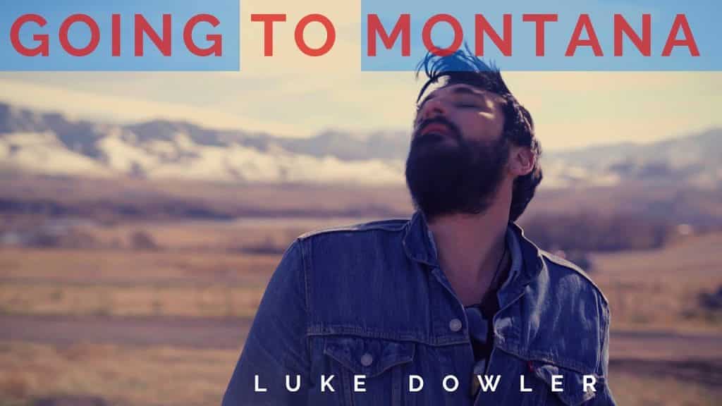
base rate $250 + 80 / hr
Our aerial teams work hand in hand with directors and directors of photography while on set in order to provide the unique vantage points that only a drone can accomplish, enhancing their ability to tell a story and increase production value with each and every flight. Our teams have years of experience on sets and understand that safety and the ability to get the shot are the priority.
Mapping & Surveying
base $499 + $1 / acre
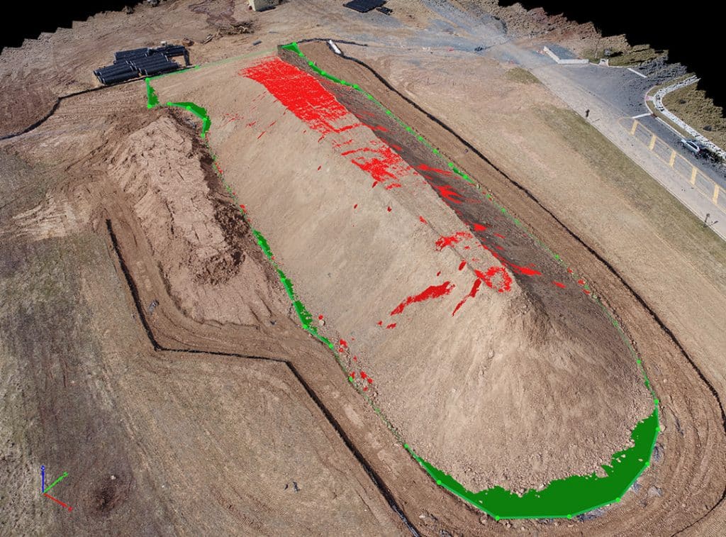
Get maps geo-referenced orthomosaics, and real-time project updates. Take measurements from aerial photographs and convert images of land masses into maps, 3D models, or drawings.
personal property documentation
base $50 / hr + $10 per 360 Photo
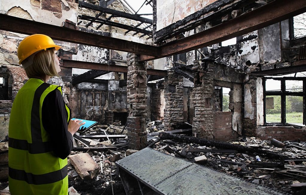
Fire damage to your home and the subsequent fire insurance claim process can be the most difficult type of claim to deal with due to the nature and scope of loss. The personal property portion of the claim offers no relief as many claimants struggle to recount and organize a comprehensive list of damaged items or worse, they allow their insurance company adjuster or third party vendor to handle that portion of the claim. As such, this part of the fire claim process is usually the most mismanaged and comes at a high cost to the claimant. The main objective of this part of the claim is to document, claim and collect the full amount of what the insurance company owes you for what it would cost to replace the contents that were damaged by smoke and/or fire, flood, burglary or theft. Using our 3D Panorama technology we can digitize your personal property so you can protect your assets and prove your loss
Thermal inspections & audits
$499 + deliverable
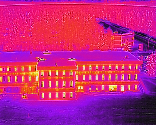
Moisture detection and energy efficiency assessment for homes and commercial structures. When done in conjunction with thermal photos and videos shot from the ground, aerial thermal imaging detects hidden moisture and energy loss. Pinpoint water intrusion, find moisture beneath the surface and document dryness with accuracy and confidence.

